Select Planet Imagery is Now Available on GNW Horizon — Here’s What You Should Know
Did you use Planet satellite imagery on GFW? Please tell us how this change affects you in our short survey here.
Recent, high-resolution satellite imagery is essential for providing context to other data layers available on Global Nature Watch (GNW, formerly Global Forest Watch) and GNW Horizon, such as interpreting drivers of tree cover change, identifying possible causes of near-real-time deforestation alerts, and in validation protocols to assess accuracy of land and forest cover and change products.
Launched in 2020, Norway’s International Climate and Forest Initiative (NICFI) partnered with Planet and Kongsberg Satellite Services (KSAT) to provide high-resolution Planet imagery for free, including on GNW, through their Satellite Data Program.
That phase of the program ended, and Planet imagery was removed from GNW on April 1, 2025. However, Planet imagery has since become available again for a limited area, now through GNW Horizon.
Here is what you need to know.
What is Planet imagery?
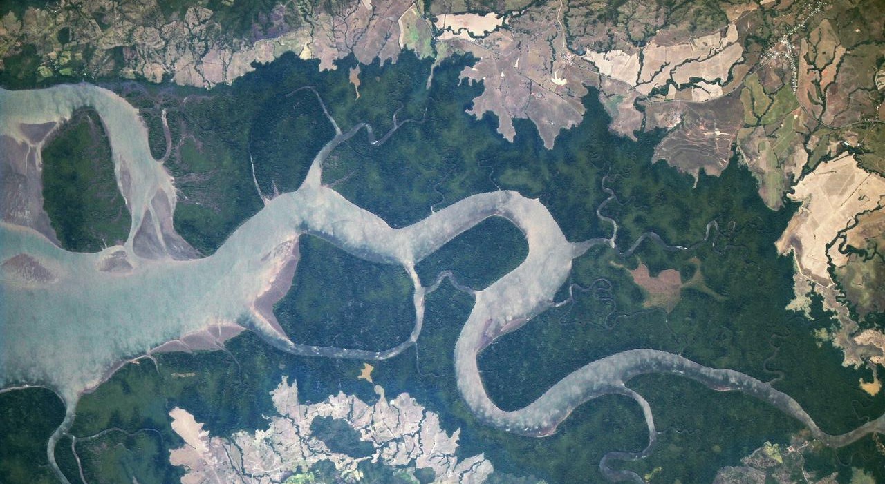
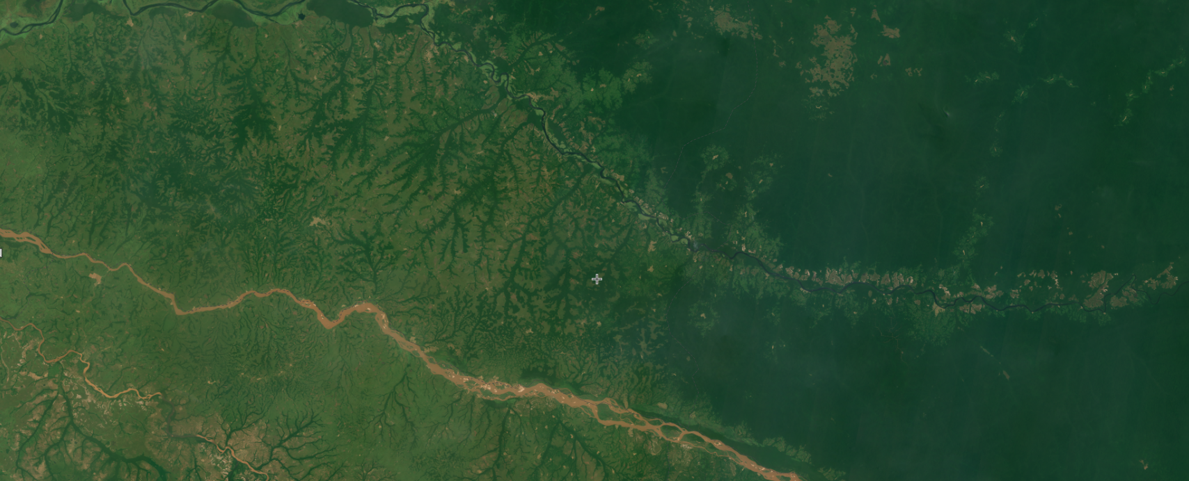
Planet’s high-resolution, analysis-ready mosaics (single images that combine multiple satellite images) of the world’s tropics are natural color images using information from visible light (red, green and blue) to show Earth’s surface as it would appear to the human eye. They are available monthly since September 2020.
Over the last few years, many GNW users have benefitted from Planet data, such as organizations like Mighty Earth and HAkA combatting illegal deforestation, those responding to policies such as EUDR and those reporting on deforestation and other critical forest-related news like Mongabay.
What were the changes to Planet on GNW in 2025?
Planet imagery was removed from GNW on April 1, 2025. This meant that as of April 1, new Planet mosaics AND historical mosaics were no longer available on GNW.
Is Planet imagery available again on GNW?
In a limited way, yes, for part of the Amazon basin.
As of May 26, 2026, a partnership between GNW, Bezos Earth Fund, Andes Amazon Fund and Planet has made Planet’s high-resolution, analysis-ready monthly mosaics available on GNW’s AI-enabled platform Horizon (currently in preview), specifically for areas of recent vegetation disturbance in the Amazon basin. This partnership is intended to help reduce and reverse the loss of tropical forests, combat climate change, conserve biodiversity and facilitate sustainable development in the region, and is set to run for one year — until May 25, 2027. GNW will explore options for continuing access beyond that point as the agreement progresses.
The coverage available now is limited. Imagery is viewable only in areas with vegetation disturbance alerts from the past two years, based on Integrated Disturbance Alerts, with a 500-meter buffer around alert pixels. This is intended to help users assess accuracy and investigate the causes of disturbance alerts within the Amazon basin; it is not a full re-launch of Planet imagery across the tropics, and Planet imagery is not available outside the Amazon basin. Imagery in these areas updates monthly on a rolling basis: mosaics for a given month are typically available from around the 15th of the following month, and new alerts are added to the historical mask over time.
What alternative satellite imagery can I use on GNW?
GNW offers several other imagery sources that have global coverage and are available to users to support their work. If resolution is most important, Google satellite imagery, which is available globally for the past 1-3 years, has a resolution that ranges from 15 meters to 15 centimeters depending on the location. For alternative sources of recent data, imagery from the Landsat 8 (30-meter resolution) and Sentinel-2A (10-meter resolution) satellites is also available since 2012 and is updated daily on GNW.
Since all imagery has different characteristics (e.g. time periods available and update frequency), users should assess which is most suited to their needs.
To learn more about how to use the satellite imagery currently available on GNW to investigate forest change please visit our Help Center.
How can I stay updated on these changes?
For any questions regarding satellite imagery on GNW, please reach out to our team at gnw@wri.org. You can also learn more about Planet in their Help Center.
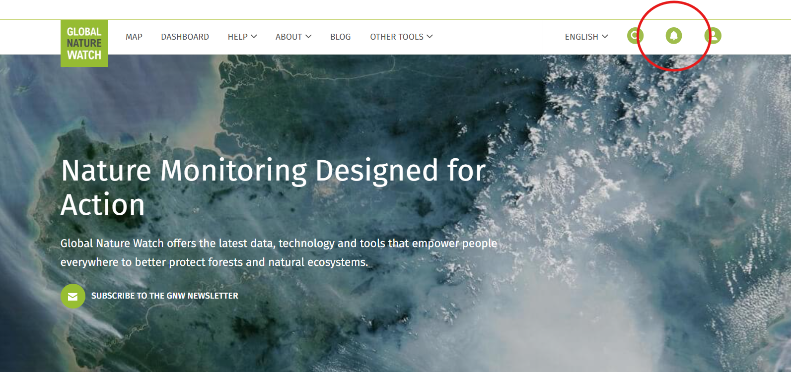
We will continue to update this blog as new information is available. You can always see the latest updates about data changes and outages in the notifications on the GNW main menu: